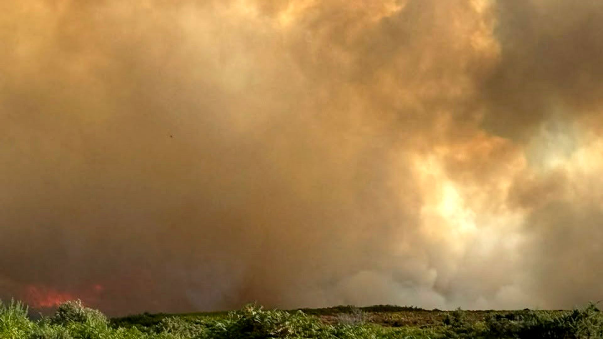
Protected ecological assets operate under a permanent structural vulnerability, where high biological richness correlates directly with high thermal flammability. When a major fire event occurs on designated heathland such as the New Forest, standard emergency reporting reduces the incident to perimeter containment metrics and asset deployment counts. This surface-level interpretation obscures the underlying systemic drivers of wildfire propagation, fuel load mechanics, and jurisdictional friction. Controlling an ignition source is merely a tactical reaction; understanding the thermodynamic and ecological parameters that permit rapid spread defines strategic preparedness.
The Three Structural Drivers of Heathland Flammability
Wildfire behavior in lowland heath environments is governed by three primary physical variables: fuel continuity, microclimatic moisture depletion, and oxygen availability driven by topography and wind vectors.
Fuel continuity on protected heathland is characterized by dense stands of woody ericaceous shrubs, predominantly Calluna vulgaris, interwoven with accumulated dead litter layers. As these plant communities age without management intervention or low-intensity burning cycles, the ratio of dead-to-live fuel increases exponentially. Dead wood possesses a lower moisture of extinction threshold, meaning it requires less thermal energy input to reach combustion temperatures. When ambient humidity drops and sustained wind speeds rise, these mature stands transform from a stable sink of carbon into a continuous thermal bridge.
Microclimatic moisture depletion acts as the primary temporal catalyst. Heathlands lack the heavy shade canopy of mature deciduous forests, exposing surface vegetation to direct solar radiation and unimpeded wind shear. This accelerates the drying of fine surface fuels. Even when deep soil moisture remains adequate to sustain root systems, the top few centimeters of the fuel bed can reach critical dryness within hours of a warm, dry weather shift.
Topography and wind vectors dictate the vector of propagation. While lowland heaths are generally flat compared to mountainous terrain, micro-topographic variations such as dry valleys, depressions, and ancient drainage channels create localized draft channels. Wind passing over an open canopy accelerates across these depressions, preheating downstream vegetation via convective heat transfer long before direct flames arrive.
The Economic and Operational Cost Function of Emergency Response
Deploying suppression resources to remote protected terrain introduces a distinct economic and operational cost function. Emergency services face severe friction when routing heavy assets through narrow, designated conservation access tracks, ancient woodland boundaries, and fragile soils that cannot support standard heavy tender vehicles without causing permanent ecological degradation.
The primary variables of this operational cost function include:
- Transit Latency: The temporal delay between initial ignition detection and the physical establishment of a water-bearing perimeter, driven by restricted access infrastructure.
- Resource Allocation Density: The volume of personnel and specialized off-road pumping units required per linear meter of active fire front due to water supply scarcity.
- Collateral Habitat Impact: The ecological degradation caused by heavy suppression tactics, including firebreak construction through rare subterranean habitats and chemical retardant deposition.
Because protected status explicitly limits heavy engineering interventions—such as permanent plowed firebreaks or mechanical thinning with industrial forestry machinery—response agencies must rely on mobile, high-maneuverability tactics. This increases reliance on specialized wildfire tactical units, air support where available, and prolonged human labor.
The Failure Modes of Standard Suppression Strategies
Conventional firefighting doctrine relies heavily on direct attack strategies, where crews approach the base of the flame front to apply water or foam directly to the burning fuel. In high-density heathland environments featuring high wind speeds, direct attack frequently fails due to rapid rate-of-spread velocity and erratic spotting behavior.
Spotting occurs when burning embers are lofted by convective columns and carried downwind into unburned fuel beds, establishing secondary ignition points behind the primary containment line. When crews commit to a direct attack on a fast-moving heath fire, they risk operational encirclement if wind shifts suddenly alter the propagation vector.
Secondary containment relies on indirect attack, constructing control lines well ahead of the fire front by utilizing natural firebreaks like streams, gravel paths, or previously burned patches. The limitation here is time. If the rate of spread outpaces the construction rate of the control line, the strategy collapses. Furthermore, backburning operations—intentionally igniting fuel between the control line and the advancing front—require precise atmospheric calculations. Misjudging relative humidity or wind gusts during a backburn expands the active wildfire perimeter rather than contracting it.
The Ecological Paradox of Conservation Management
The vulnerability of the New Forest to high-intensity wildfire is paradoxically linked to the very conservation policies designed to protect its biodiversity. Strict preservation mandates often restrict traditional landscape management practices, such as controlled rotational burning and targeted grazing by commoners' livestock.
Without removal of senescent vegetation through low-intensity fire or heavy grazing pressure, biomass accumulates beyond historical norms. When a wildfire eventually breaches the ecosystem under drought conditions, the sheer volume of accumulated fuel generates flame temperatures far exceeding historical baselines. These high-intensity burns sterilize the upper soil horizon, destroy dormant seed banks of native flora, and facilitate the invasion of aggressive, fire-adapted alien weed species that outcompete native heathland fauna and flora during the recovery phase.
Strategic Resource Allocation and Mitigation Architecture
To shift from reactive containment to proactive risk management within protected landscapes, regional authorities must decouple fire response from pure emergency services deployment and integrate it with long-term ecological engineering.
Resource deployment must prioritize pre-positioning assets based on real-time fuel moisture index modeling rather than historical incident frequency. Automated remote sensors measuring relative humidity, soil moisture tension, and wind velocity within high-risk sectors can establish dynamic danger thresholds. When these thresholds are crossed, access restrictions for recreational users must be automatically enforced to minimize human-caused ignition vectors.
Landscape-scale fuel management must be reintroduced through compartmentalized mosaic burning. By breaking continuous fuel beds into smaller, isolated age-class patches, land managers limit the maximum potential size and thermal output of any future wildfire event. This architectural approach ensures that even if an ignition occurs, the fire encounters fuel beds with insufficient continuity to sustain high-intensity propagation, transforming an unmanageable crisis into a self-limiting ecological event.
:max_bytes(150000):strip_icc()/ar-American-Cheese-taste-test-horizon-4x3-54cc339550cd44b9a818c17bdfd5428d.jpg)