When Saudi Arabia's National Center of Meteorology (NCM) issues a "potential danger" warning—classified under its color-coded system as an orange or red alert—for the Makkah Province, specifically targeting Mecca and Jeddah, it triggers an immediate, multi-agency operational cascade across the Kingdom's western corridor. Rather than treating these meteorological bulletins as routine weather updates, state infrastructure operators, civil defense units, and transit authorities treat them as systemic stress tests on arid-zone urban engineering. Understanding these warnings requires dissecting the atmospheric physics of the Red Sea trough, the specific hydrological vulnerabilities of Jeddah and Mecca, and the institutional protocols activated when convective storms threaten millions of residents and religious pilgrims.
The Meteorological Architecture of Western Saudi Alerts
Severe weather events in the Hijaz region are rarely random; they are governed by predictable synoptic-scale atmospheric interactions. Standard media reports often describe these events simply as "heavy rain" or "storms," obscuring the specific thermodynamic mechanisms that force the NCM to escalate alert levels. For a closer look into this area, we suggest: this related article.
The primary driver of high-impact precipitation in Mecca and Jeddah is the interaction between the Red Sea Trough (RST) and upper-level atmospheric disturbances. Under normal conditions, the RST is a surface-level low-pressure extension of the Sudan monsoon trough, drawing warm, moisture-laden air northward from the Red Sea basin. On its own, the surface trough produces localized heat and humidity. When an upper-level trough—typically a southward-dipping jet stream wave carrying cold air from the Mediterranean—advances over the Arabian Peninsula, it creates extreme atmospheric instability.
This vertical temperature gradient initiates rapid convective uplift. Warm, saturated air near the Red Sea surface rises violently into the colder upper atmosphere, condensing rapidly into deep cumulonimbus clouds. Two geographic factors amplify this mechanism: For broader context on this topic, detailed coverage can be read at Reuters.
- Orographic Lifting: As moist air pushes inland from the coastal plain of Jeddah toward Mecca, it encounters the Sarat Mountains (the Hijaz escarpment). Forced upward by the terrain, the air cools adiabatically, dumping intense volumes of rain over short durations along the foothills and valleys surrounding Mecca.
- Low-Level Wind Shear and Convergence: Along the Red Sea coast, localized convergence zones concentrate moisture into narrow bands. When these bands stall over an urban footprint, rainfall rates can exceed 50 to 100 millimeters within a few hours—a volume that surpasses the annual average rainfall for the region in a single afternoon.
Structural Vulnerability and Hydrological Bottlenecks
A meteorological warning in Riyadh carries a vastly different risk profile than an identical warning in Jeddah or Mecca. The "potential danger" designation reflects not merely the intensity of the storm, but the collision between extreme precipitation rates and the specific physical vulnerabilities of these two cities.
Jeddah's Coastal Plain and Drainage Deficit
Jeddah sits on a low-lying coastal plain (the Tihamah) bordered by the Red Sea to the west and the Hijaz foothills to the east. Historically, runoff from the eastern mountains drained naturally across this plain through a network of shallow wadis (dry riverbeds) into the sea. Rapid urban expansion over the past four decades paved over large portions of these natural drainage basins, replacing permeable desert soil with non-porous asphalt and concrete.
When intense rainfall occurs in the eastern foothills, water channels westward toward Jeddah at high velocity. Because arid environments exhibit near-zero soil infiltration during sudden downpours—a phenomenon known as Hortonian overland flow—almost 100 percent of the precipitation becomes surface runoff. If storm drainage networks and retention dams reach capacity, water accumulates rapidly in low-elevation underpasses, coastal intersections, and unplanned districts, paralyzing ground transport and submerging vehicles.
Mecca's Basin Topography and Crowd Density
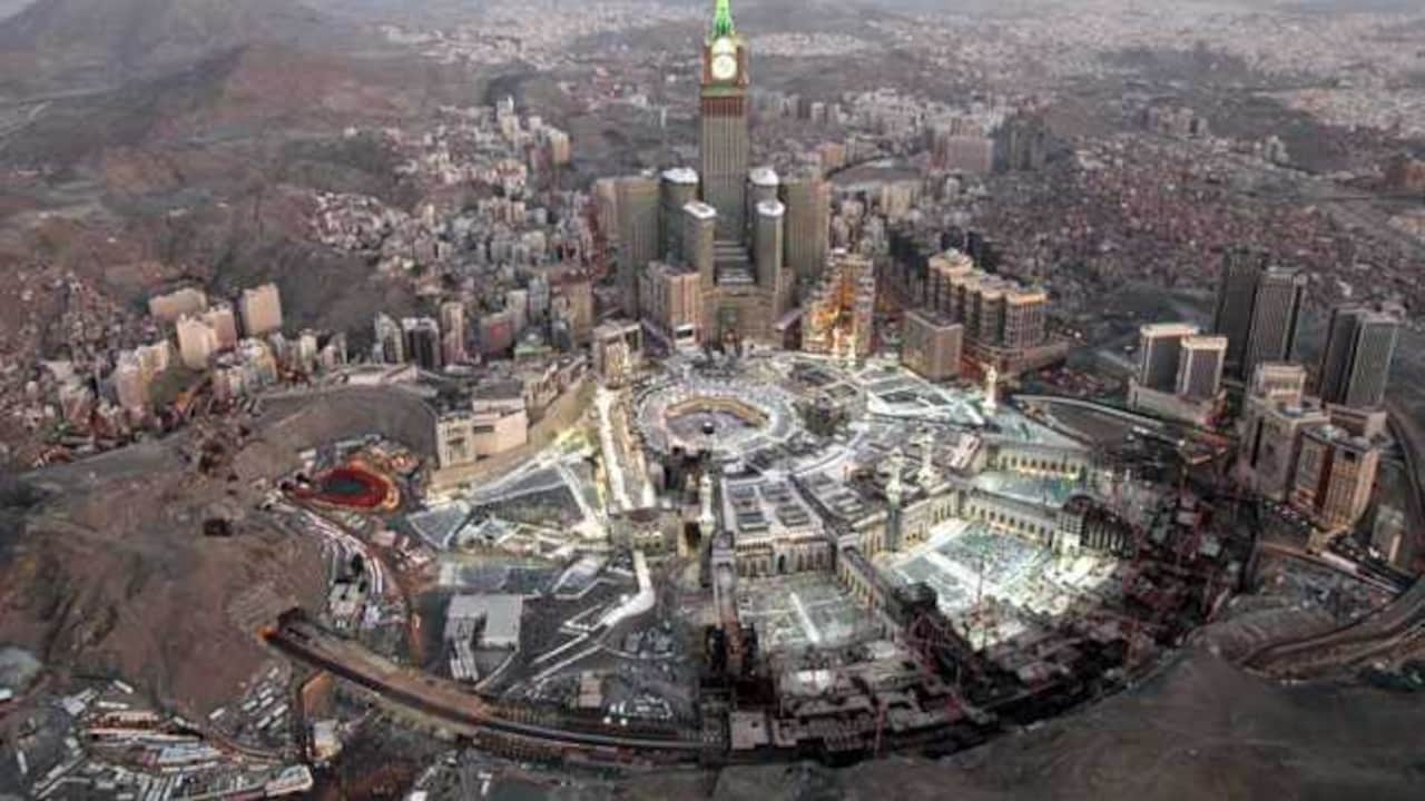
Mecca presents an inverted structural challenge. Situated within a narrow, steep-sided valley surrounded by granite mountains, the city acts as a natural catchment basin. Runoff from the surrounding peaks converges toward the central valley floor, where the Masjid al-Haram (Grand Mosque) is located.
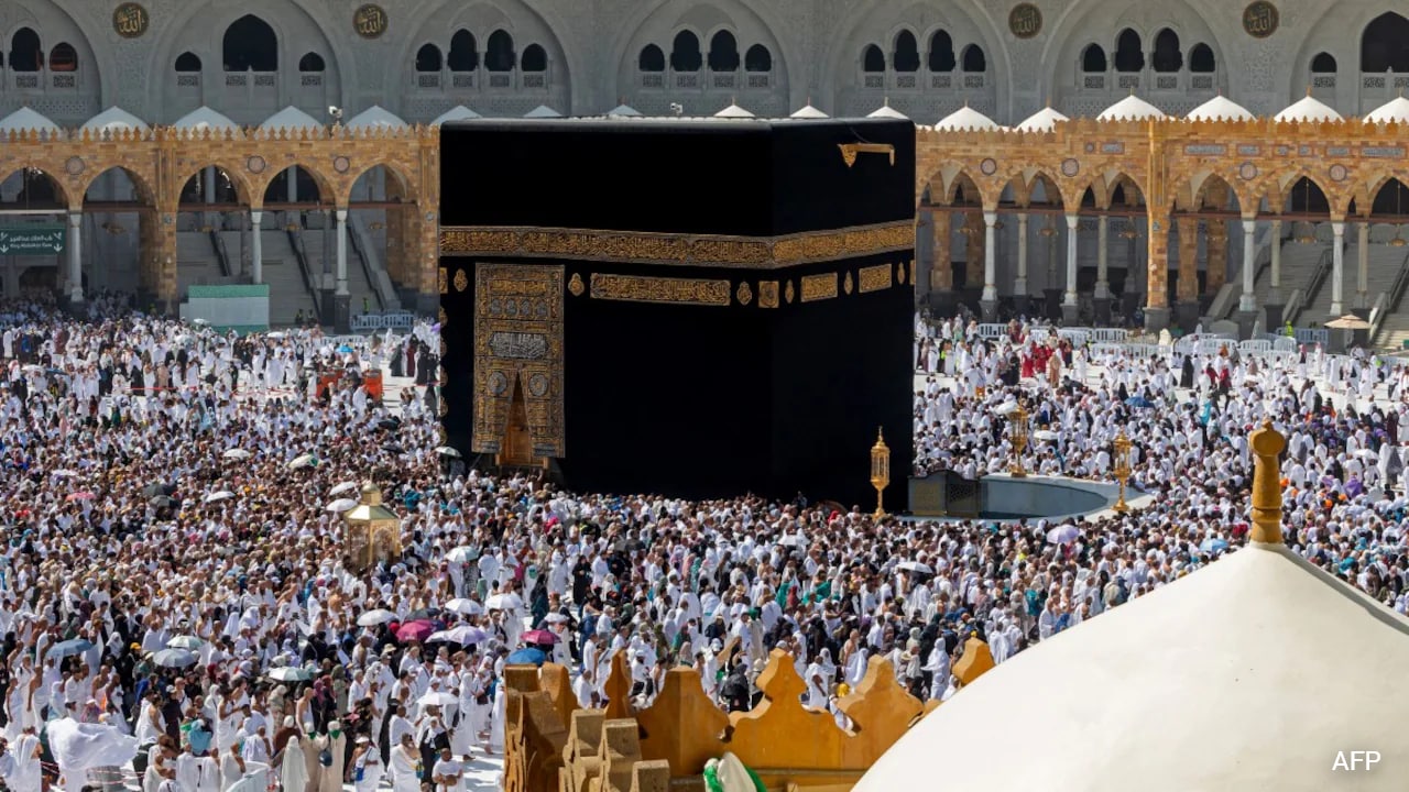
While Mecca possesses extensive engineered stormwater tunnels and diversion channels designed to route mountain runoff away from the central sanctuary, the city's vulnerability is dictated by human density. Unlike standard municipalities where residents can shelter in place indefinitely, Mecca hosts a continuous, transient population of Umrah and Hajj pilgrims. Hundreds of thousands of individuals move on foot between hotels, transit hubs, and open courtyards. In this environment, wet marble surfaces, localized flash flooding in perimeter streets, and lightning strikes pose immediate physical hazards that require preemptive crowd management rather than reactive rescue.
Deconstructing the NCM Early Warning Matrix
To translate atmospheric data into public action, the National Center of Meteorology utilizes an automated, tiered early warning system. When public alerts cite "potential danger," they refer to specific operational thresholds within this matrix.
- Yellow Alert (Advisory): Signals the presence of weather phenomena that could cause minor disruptions—such as moderate winds kicking up surface dust (reducing visibility to 1–3 kilometers) or light-to-moderate rain. Operational response is limited to heightened monitoring by municipal agencies.
- Orange Alert (Potential Danger / Advanced Warning): Issued when meteorological models and Doppler radar confirm imminent severe weather. Criteria include heavy rainfall capable of generating flash floods, surface wind gusts exceeding 50–60 km/h, hail, and near-zero visibility due to blowing dust or torrential rain. This is the critical threshold that triggers institutional closures.
- Red Alert (Severe Danger / Immediate Action): Indicates active, life-threatening conditions. Rainfall rates are actively overwhelming local drainage, wadis are flowing with high-velocity floodwaters, and coastal conditions involve hazardous wave heights. Movement is restricted strictly to emergency responders.
The Institutional Response Protocol
An orange or red warning is not a passive forecast; it is a legal and operational trigger that shifts governance in the Makkah Province from standard municipal administration to unified emergency command. The General Directorate of Civil Defense coordinates this shift through four synchronized mechanisms:
- Educational Suspension and Remote Transition: The Ministry of Education immediately suspends in-person classes across Jeddah, Mecca, and surrounding governorates (such as Rabigh and Khulais), shifting students to the Madrasati digital platform. Removing school buses and commuter parents from the road network eliminates up to 30 percent of morning peak traffic volume, keeping arterial highways clear for emergency vehicles.
- Transit and Aviation Rerouting: King Abdulaziz International Airport (JED) in Jeddah—the primary aviation gateway for pilgrims—activates low-visibility and crosswind protocols. Convective cells over the Red Sea frequently force air traffic control to hold incoming flights or divert them to Prince Mohammad bin Abdulaziz Airport in Medina or King Khalid International Airport in Riyadh. Concurrently, the Haramain High-Speed Railway, which links Mecca and Jeddah at speeds up to 300 km/h, reduces operating speeds or halts service if crosswinds or track-level water sensors breach safety margins.
- Infrastructure Pre-Positioning: Municipal secretariats (Amanah) deploy mobile suction tanker fleets and portable pumping stations to known low-lying chokepoints—specifically highway tunnels and major roundabouts—prior to the onset of rain. Electricity providers isolate vulnerable ground-level transformers in flood-prone zones to prevent electrocution hazards and cascading grid failures.
- Geofenced Emergency Broadcasts: Utilizing Cell Broadcast technology, authorities push piercing audio alerts directly to all mobile devices connected to cell towers within the specific polygon of the storm's path. These messages bypass standard SMS queues, delivering direct instructions to avoid valleys, stay away from electrical poles, and remain indoors.
Limitations and Operational Friction Points
Despite massive capital investments in drainage megaprojects following the catastrophic Jeddah floods of 2009 and 2011, managing severe weather warnings in western Saudi Arabia remains subject to hard physical and operational constraints.
First, convective unpredictability limits lead times. While synoptic models can predict the arrival of an upper-level trough 48 to 72 hours in advance, pinpointing the exact cell development of a thunderstorm down to a specific neighborhood in Jeddah or a single valley in Mecca is often only possible 60 to 120 minutes before impact via weather radar. Consequently, authorities must frequently issue broad regional warnings that disrupt economic activity in areas that ultimately receive minimal rain, creating a recurring tension between safety compliance and warning fatigue.
Second, infrastructure capacity has finite design limits. Jeddah's upgraded drainage network—comprising massive underground culverts, perimeter dams, and widened channels—is engineered to handle specific return-period storms (e.g., 50-year or 100-year rainfall events). When a stalled convective cell delivers rainfall intensity exceeding those engineering parameters within a single hour, surface pooling remains physically unavoidable until the drainage network clears the initial surge.
Third, behavioral compliance varies sharply among demographics. Local residents accustomed to Civil Defense warnings generally adhere to stay-at-home directives. International pilgrims in Mecca, however, often operate under strict itinerary deadlines and religious obligations, leading many to remain outdoors during active alerts. Furthermore, a persistent subculture of off-road enthusiasts frequently drives into flowing wadis to film floodwaters, accounting for a disproportionate share of Civil Defense water-rescue operations during red-alert events.
Tactical Protocol for Navigating Active Warnings
For residents, logistics operators, and travelers inside the Makkah Province when an NCM orange or red warning is active, navigating the disruption requires specific operational adjustments rather than generic caution:
- Monitor Polygon-Specific Radar, Not City-Wide Forecasts: Rely directly on the NCM's Anwa mobile application or official Civil Defense social media feeds, which map alerts to specific sub-districts rather than treating the entire Jeddah-Mecca corridor as a single weather zone.
- Avoid Underpasses and Coastal Roads: In Jeddah, never attempt to drive through highway tunnels or low-lying intersections where water depth obscures road markings. Standing water exceeding 30 centimeters is sufficient to stall standard passenger sedans and float lightweight vehicles.
- Buffer Transit Schedules Around Airport and Rail Hubs: If transiting through King Abdulaziz International Airport or the Haramain Railway during a yellow-to-orange escalation, build a minimum four-hour buffer into ground transfers, as highway closures between Jeddah and Mecca (Route 40) can isolate the airport from the holy city without prior notice.
- Stay Clear of Wadi Basins for 24 Hours Post-Storm: Flash flooding in western Saudi Arabia frequently occurs under clear skies. Rain falling in the eastern Hijaz mountains can take several hours to travel down dry riverbeds into coastal plains; wadis remain lethal hazards long after local precipitation stops.