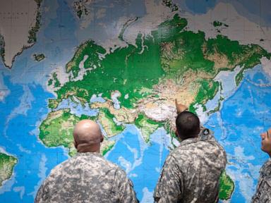
Maps do not show the world as it is. They show the world as the people who drew them wanted it to be seen. Every border, every projection, and every suppressed geographic feature serves an agenda dictated by power, capital, and military strategy.
We are taught from childhood to trust the atlas. We trace coastlines and measure distances with a naive belief in objective geometry. Mercator stretched Greenland until it rivaled the entire continent of Africa in visual weight, a cartographic lie that permanently warped how generations perceive geopolitical importance. That distortion was not an accident. It was a tool of European maritime dominance, designed to make colonial expansion look proportional and inevitable on flat parchment.
Cartography has never been neutral. When satellite navigation and digital mapping platforms replaced paper folds, the illusion of neutrality only deepened. Users assume an application on a smartphone delivers an unvarnished reality. In truth, digital maps are dynamic battlegrounds where state boundaries shift based on the user's geographic location. Open Google Maps in India, and the borderlines of Kashmir follow New Delhi's legal decrees. Open the exact same application in Pakistan, and those lines alter entirely.
Power dictates geography.
Consider the mechanics of digital cartography platforms. They are proprietary, heavily filtered, and controlled by a tiny oligopoly of technology conglomerates. When an intelligence agency wants sensitive military installations scrubbed from public view, corporations comply. When a regime demands the erasure of contested villages or the renaming of disputed seas, the software updates quietly overnight. This is not open information. It is managed reality.
The Mercator projection remains a masterclass in psychological manipulation. By expanding high-latitude landmasses—predominantly North America and Europe—while shrinking equatorial regions, it visually reinforced a global hierarchy. The Global North appears dominant, central, and vast. The Global South is compressed, marginalized, and visually diminished. Changing to a Peters projection or a Winkel Tripel projection corrects the scale, yet institutional inertia keeps Mercator on classroom walls and default browser interfaces.
Data collection compounds the issue. Every route plotted, every destination searched, and every delivery tracked feeds an algorithmic feedback loop. Maps now predict behavior rather than merely reflecting terrain. Traffic routing algorithms funnel thousands of vehicles through residential side streets, transforming quiet neighborhoods into industrial rat runs because a central server calculated a forty-second time savings. The map remakes the physical world in its digital image, displacing human communities to optimize throughput for commercial logistics.
Sovereignty is increasingly digital. A government no longer needs to control physical territory alone; it must control the metadata that defines that territory to outside observers. When a disputed island in the South China Sea is dredged, fortified, and immediately labeled on domestic servers with a new administrative name, reality bends to fit the interface.
We need a radical reassessment of how geographic data is consumed. Users must understand that every pan, zoom, and search query operates within invisible guardrails built by commercial and political interests. The next time a route loads on a screen, remember that the path suggested is not just the fastest way home. It is a calculated vector shaped by hidden borders, corporate agreements, and the persistent myth of neutral lines on a page.