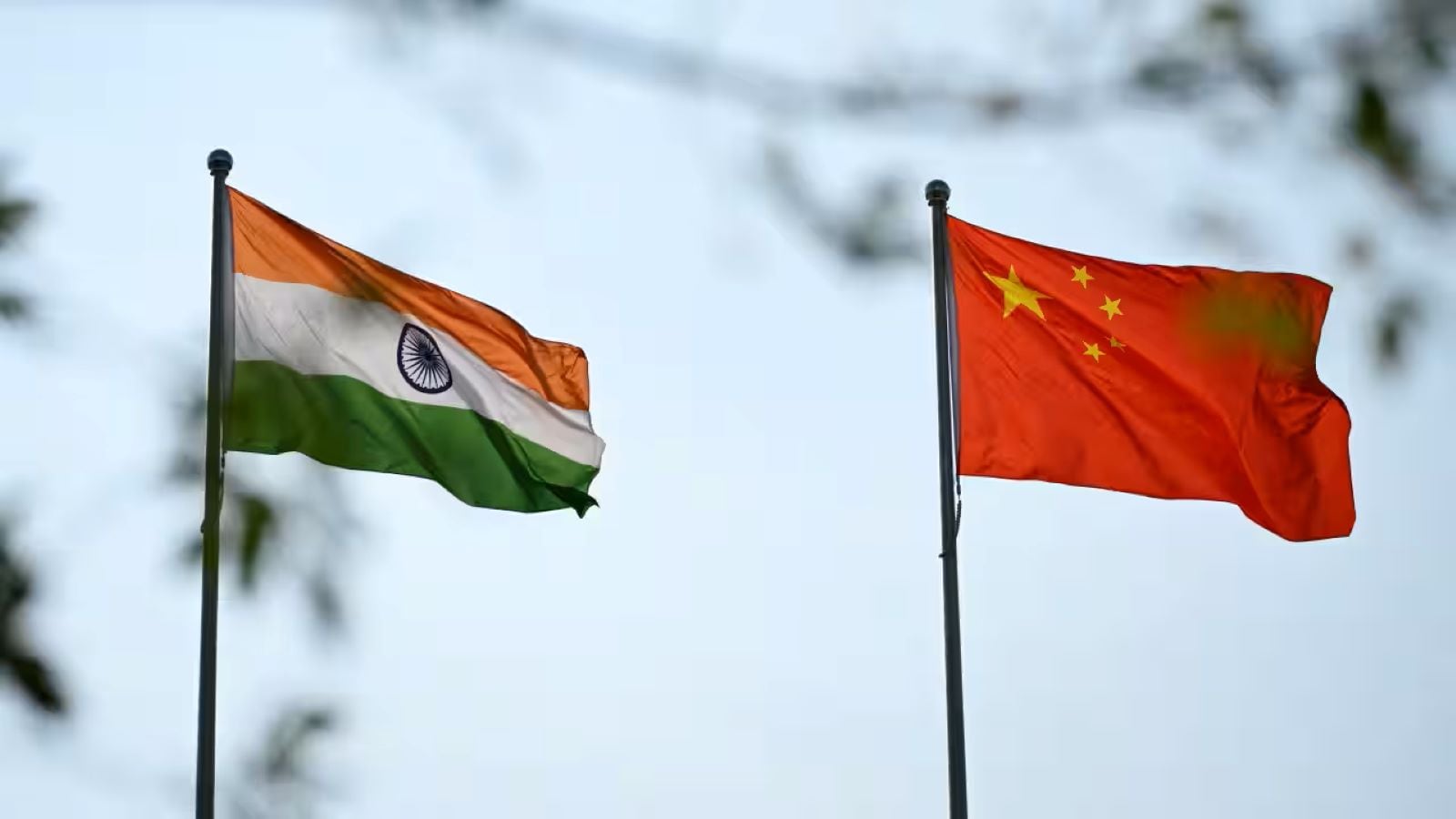
Maps are weapons. Governments don't just use cartography to help travelers find restaurants or plan road trips; they use boundaries and place names to cement sovereignty claims. Nowhere is this more obvious right now than along the contested frontier between India and New Delhi's giant neighbor to the north.
Beijing keeps releasing batches of standardized geographic names for places inside Arunachal Pradesh, a northeastern Indian state that China insists on calling Zangnan, or South Tibet. New Delhi responds with predictable fury, dismissing the moves as absurd and pointing out that inventing new names on paper doesn't change reality on the ground. Don't miss our recent article on this related article.
You might wonder why anyone cares about a few changed characters on a digital map. Honestly, it is about long-term psychological warfare, domestic political posturing, and setting legal precedents for future territorial grabs. Let's look past the diplomatic noise and break down what is actually happening in the Himalayas.
The cartographic offensive
Since 2017, Beijing's Ministry of Civil Affairs has rolled out multiple lists of standardized names for locations in Arunachal Pradesh. These lists cover residential areas, rivers, mountains, and mountain passes. The strategy relies on domestic laws like the Land Borders Law, which took effect in early 2022. That law explicitly tasks state agencies with safeguarding territorial integrity and land boundaries, giving bureaucratic name-changes the weight of national security. If you want more about the background here, USA Today provides an informative breakdown.
When Beijing designates Chinese characters, Tibetan script, and pinyin romanization for towns in Indian territory, it creates an alternate administrative reality. Officials use these names in internal planning, state media broadcasts, and legal documents.
India's Ministry of External Affairs handles these provocations with a standard, punchy playbook. They issue statements rejecting the renaming outright, emphasizing that Arunachal Pradesh has always been, and will always be, an integral part of India. Prime Minister Narendra Modi's administration also ensures high-profile visits to the border region, officially opening infrastructure projects like tunnels and bridges right under Beijing's nose to signal absolute control.
Why Arunachal Pradesh matters so much
To understand the tension, you have to look at the geography and history. The McMahon Line, drawn by British colonial officials in 1914, separates Indian-administered territory from Tibet. Beijing has never recognized this line, arguing that Tibetan authorities lacked the sovereign power to sign treaties back then.
Arunachal Pradesh spans over eighty-three thousand square kilometers. It serves as a massive geographic shield for India's northeastern plains. Control over these mountain ridges dictates strategic depth. If you hold the peaks, you watch the valleys.
Beyond security, water resources play a massive role. The rivers flowing down from these Himalayan heights feed millions of people downstream. Water security is national security in Asia. Whoever controls the upper riparian zones holds immense leverage over the lower ones.
The domestic audience factor
Geopolitics rarely stays purely external. Both capitals face domestic political pressures that amplify these border disputes.
In Beijing, emphasizing sovereignty over lost territories feeds into a narrative of national rejuvenation. It rallies public sentiment around the leadership, framing any territorial claim as a sacred duty. When state media highlights the newly minted Chinese names for Himalayan peaks, nationalist social media users eat it up. It projects strength outward while channeling internal economic anxieties toward an external adversary.
In New Delhi, ceding an inch of ground is political suicide. The opposition watches every move the ruling party makes along the frontier. Any perceived weakness invites heavy criticism. Therefore, India cannot afford to ignore these name games. Silence looks like acquiescence.
The militarization of the frontier
Paper maps are cheap. Steel, concrete, and artillery are expensive. Both sides are pouring massive resources into turning the once-quiet frontier into a heavily armed zone.
India has rushed the construction of all-weather roads, advanced landing grounds for fighter jets, and the strategic Sela Tunnel, which ensures troop movements through the winter months. Border infrastructure development used to lag behind the northern neighbor for decades. Not anymore. New Delhi is closing the gap fast, deploying specialized mountain divisions and modern surveillance gear to every critical sector.
Beijing matches every move. Permanent military villages have popped up near the Line of Actual Control, housing loyal citizens and dual-use infrastructure designed to support rapid troop mobilization.
What happens next
This is a frozen conflict that refuses to thaw. Neither government can afford to back down without losing face domestically. Talks between military commanders drag on for rounds and rounds, producing minor disengagements in specific sectors while the broader structural deadlock remains intact.
Expect more lists. Expect more rhetorical sparring. The name games will continue because they cost nothing to produce and generate plenty of noise. Keep your eyes on the ground infrastructure rather than the press releases. The real story isn't what they call the mountains. It's who builds the roads to reach them first.