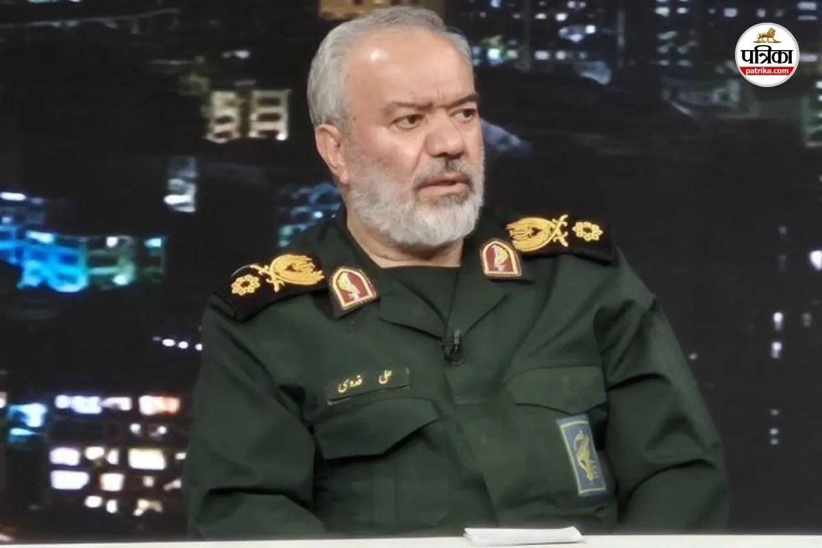
Naval power projection relies entirely on proximity to contested chokepoints. When state actors claim a structural retreat of adversary forces exceeding one thousand kilometers, the statement demands analysis through the lenses of distributed maritime operations, Anti-Access/Area-Denial (A2/AD) architectures, and the economic efficiency of modern force posture. Recent statements from senior Iranian Islamic Revolutionary Guard Corps (IRGC) leadership regarding the withdrawal of United States naval assets from the Persian Gulf and the Strait of Hormuz necessitate a deconstruction of how modern naval strategy manages risk, standoff distance, and littoral vulnerability.
The Mechanics of Stand-Off Doctrine and Littoral Risk
Operating high-value surface combatants inside enclosed seas like the Persian Gulf introduces severe tactical liabilities. The geography of the Gulf features a narrow maritime corridor where maximum widths are constrained and strategic depth is effectively non-existent. Under these geographic conditions, surface action groups operate within the theoretical engagement envelope of shore-based anti-ship cruise missiles, fast attack craft swarms, and coastal reconnaissance grids.
The strategic calculus governing carrier strike groups and surface action groups balances two competing vectors:
- Presence: Maintaining physical proximity to signal commitment, reassure regional allies, and project immediate tactical aviation power.
- Survivability: Retaining adequate sea room to absorb kinetic strikes, execute electronic countermeasures, and manage warning timelines against asymmetric vectors.
When the cost of survivability inside a confined body of water exceeds the political utility of close-in presence, military planners execute a posture shift. This shift relocates primary surface assets to outer tiers—such as the Arabian Sea, the Gulf of Oman, or deeper regional hubs—while relying on air power, long-range munitions, and networked sensors to maintain regional deterrence. Assertions that adversary fleets have abandoned regional waters entirely misread this operational dispersion as an absolute vacuum, ignoring how modern blue-water navies project power from standoff distances exceeding traditional visual horizons.
Asymmetric Interdiction and the Cost Function of Sea Control
Control of maritime chokepoints such as the Strait of Hormuz is governed by the economics of attrition. Traditional power projection assumes that a dominant naval force can guarantee open sea lanes through overwhelming kinetic supremacy. However, asymmetric state and non-state actors utilize distributed, low-signature systems—including unmanned aerial vehicles, remote-controlled surface craft, and mine warfare—to impose disproportionate economic and operational costs on high-value platforms.
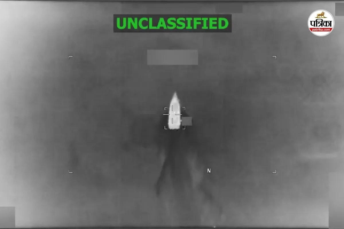
The introduction of electronic warfare units capable of intercepting, tracking, or downing unmanned reconnaissance assets alters the intelligence-gathering cycle. In a contested littoral environment, information dominance shifts dynamically. When an air defense network or electronic countermeasures unit disrupts surveillance sweeps, surface commanders face degraded situational awareness. Rather than exposing multi-billion-dollar hulls to high-density, low-cost asymmetric threats in shallow waters, strategic doctrine dictates a pivot toward distributed lethality and exterior lines of operation.
The Regional Sensor-Shooter Grid
The friction between opposing naval doctrines in the Gulf region manifests primarily through the competition for electromagnetic and radar dominance. Advanced surveillance architecture relies on early-warning radar installations, coastal tracking stations, and airborne telemetry to map adversary movements. Incidents involving targeted infrastructure nodes or intercepted reconnaissance platforms illustrate a continuous contest for situational awareness.
- Sensor Denial and Jamming: Both sides employ electronic warfare to blind opposing radar and telemetry links, turning the littoral zone into a high-interference theater.
- Kinetic Interception Thresholds: When unmanned systems probe air defense perimeters, the defending force must decide whether to expend high-cost interceptors against low-cost vectors, creating an unfavorable economic exchange ratio.
- Dispersed Command Structures: Centralized command hubs are increasingly supplemented by decentralized, hardened mobile units designed to survive initial suppression efforts.
This operational environment explains why physical ship counts inside restricted inner basins fluctuate independently of actual military capability. The absence of visible surface combatants in shallow coastal waters does not equate to an absence of reach; rather, it reflects an evolution in how naval forces manage the trade-off between vulnerability in confined spaces and the persistence of long-range strike networks.
Strategic Forecast and Force Posture Evolution
The operational dynamics of the Persian Gulf will continue to be defined by the tension between massed littoral defense networks and distributed, stand-off power projection. Future naval configurations in the region will rely less on permanent stationary capital ships stationed within missile range of hostile shores, and more on rapid-surge capabilities, uncrewed maritime systems, and integrated regional air-defense architectures operating from external depth. Dominance in this theater will be measured not by the physical parking of warships in narrow gulfs, but by the ability to assert sea denial or sea control instantaneously from beyond the horizon.