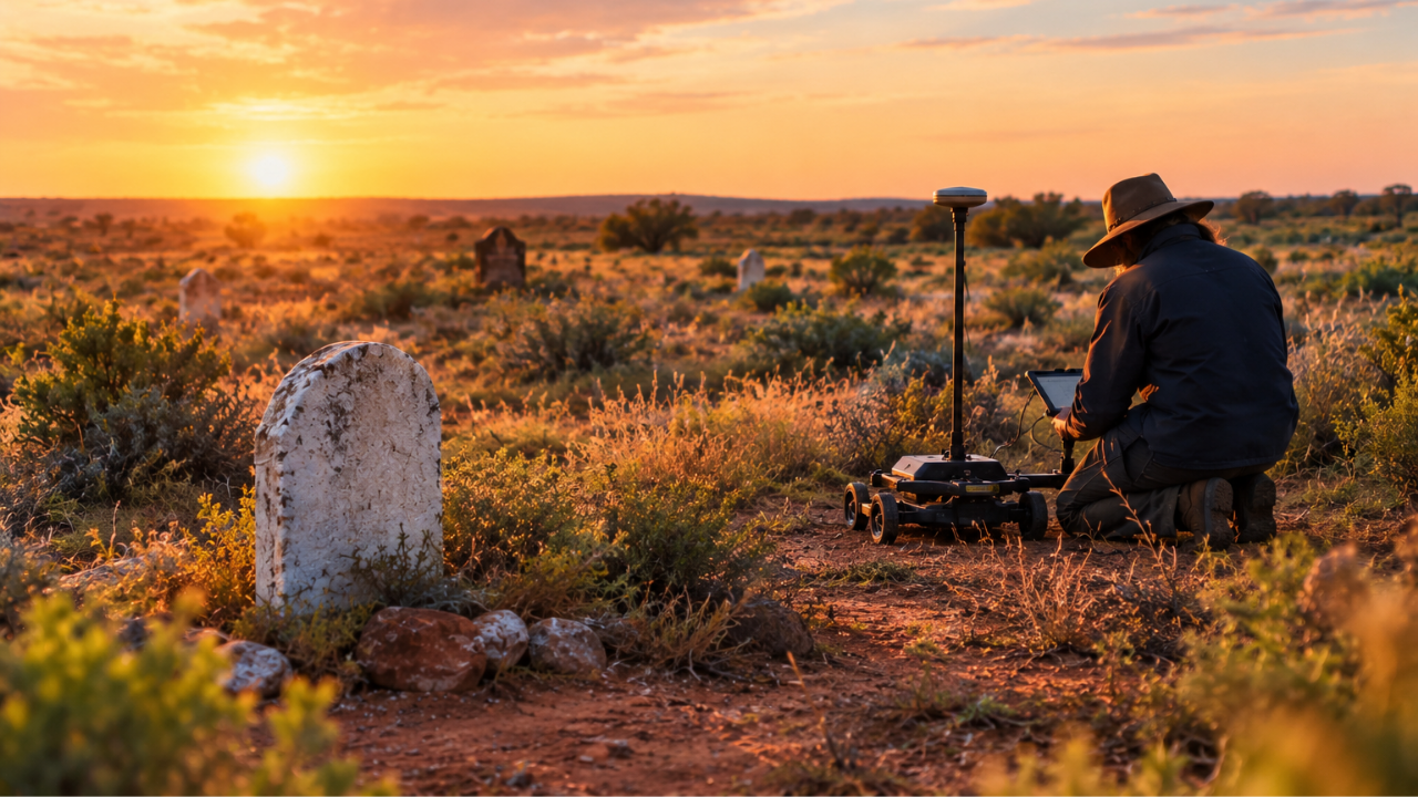
History isn't always written in books. Sometimes, it is hidden under patches of dry grass in remote outback cemeteries, completely forgotten until modern technology drags it back into the light.
A recent specialist project across two remote Australian cemeteries in the Central Darling Shire of New South Wales uncovered a staggering reality. Crews mapped 658 unmarked burials that had vanished from official memory over generations. Out of those, 338 were found at White Cliffs and 320 at Menindee. If you think cemeteries are orderly, fully documented archives of the dead, cases like this prove how easily the past slips away.
Why Historic Outposts Lose Their Dead
Outback towns look different today than they did during the boom and bust eras of the 19th and early 20th centuries. Back then, harsh conditions, isolation, and shifting populations meant people were buried quickly. Wooden markers rotted away. Metal plaques rusted. Shifting soil swallowed temporary boundaries, and handwritten burial ledgers were lost to floods, fires, or simple neglect.
Over decades, sections of these historic burial grounds became empty grass fields to the naked eye. Families moved away, local knowledge died out, and local councils were left managing spaces with massive gaps in their historical records. Without intervention, these forgotten lives fade entirely out of community awareness.
The Science of Finding What Is Missing
You can't just start digging up a historic cemetery to see what's underneath. That disrespects the dead and destroys fragile archaeological context. Instead, specialists rely on non-invasive technology like ground-penetrating radar (GPR).
Firms like Hunter Geophysics use cart-mounted radar units that roll silently over the terrain. The device sends high-frequency radio waves into the ground. When those waves hit soil that has been disturbed—like an old grave shaft where the earth was dug out and filled back in—they bounce back differently than undisturbed native soil.
Operators walk meticulous grid patterns, often using tight line spacings of just 25 centimeters to ensure nothing is missed. Every shift in density tells a story. By mapping these subterranean anomalies, specialists can paint a vivid picture of where bodies lie without disturbing a single blade of grass or a single pebble on the surface.
What This Means for Regional Heritage
Finding 658 lost graves isn't just an interesting archaeological footnote. It changes how local governments handle heritage management.
When a council knows precisely where historic burials are located, they can protect those zones from accidental damage. Infrastructure projects, maintenance work, or the opening of new plots will never inadvertently disturb resting places. Furthermore, accurate maps give local communities a chance to install proper memorials, honor pioneers, and restore dignity to people who spent decades lying in unmarked obscurity.
Remote Australian towns carry heavy historical weight. Shedding light on these forgotten plots gives modern residents a direct line back to the ancestors who built those harsh frontier settlements. Preserving these grounds ensures that local history remains visible, respected, and permanent for generations to come.