Predicting municipal operational shutdowns during severe weather requires translating synoptic atmospheric mechanics into discrete probability thresholds. As Tropical Storm Narra evolves across the Gulf of Tonkin and projects an easterly trajectory toward the Leizhou Peninsula, the Hong Kong Observatory faces a complex forecasting matrix. Standard public bulletins often obscure the underlying physical variables that dictate whether a Standby Signal Number 1 or Strong Wind Signal Number 3 will be hoisted. Understanding the progression of Narra demands a structured deconstruction of atmospheric pressure gradients, vector turning points, and regional wind field distributions.
The Kinematic Mechanics of System Re-Curvature
The primary forecasting variable governing Narra is its velocity vector shift from a stationary dwell phase in the Beibu Gulf toward an east-northeastward trajectory. Tropical systems interacting with broad low-pressure troughs across southern China frequently exhibit erratic translation speeds. During its dwell phase, the vortex energy dissipates outward, but the subsequent steering flow driven by subtropical ridge realignments forces a pivot toward the Guangdong coast.
This directional change alters the local pressure field relative to the Pearl River Delta. As the system tracks closer to the Leizhou Peninsula—roughly 400 kilometers west-southwest of the territory—the distance-decay factor diminishes, allowing outer rainbands and associated wind surges to impact local topography. The key mechanism triggering warning thresholds is not merely the minimum central pressure of the storm, but the local pressure gradient force generated between the outer circulation and the continental high-pressure ridge situated to the east.
The Vector Gradient and Wind Field Distribution
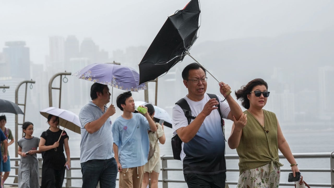
Local wind response in Hong Kong depends heavily on the interaction between the tropical storm's peripheral circulation and the prevailing southwest monsoon. When a system approaches from the western sector, local topography significantly modulates surface wind speeds through channeling effects in Victoria Harbour and high-altitude acceleration across mountain ranges.
- Synoptic Pressure Gradient: The tight packing of isobar lines determines the baseline geostrophic wind speed across the coastal shelf.
- Monsoonal Moisture Entrainment: Interaction with the southwest monsoon feeds latent heat into the southern semicircle of the storm, sustaining convective activity despite land interaction.
- Topographic Acceleration: Ridges and peaks experience higher sustained velocities, often reaching threshold criteria (Force 6) while urban stations remain at lower brackets.
These variables create a spatial variance where marine areas and high ground record severe gale-force parameters hours before urban sea-level stations register equivalent changes. The Observatory must weigh these localized microclimate discrepancies against systemic safety criteria before elevating warning signals.
Operational Decision Matrices for Municipal Infrastructure
The timeline for issuing a tropical cyclone warning signal relies on probabilistic lead times designed to balance economic continuity with public safety. If Narra maintains its projected acceleration toward western Guangdong during Tuesday or Wednesday, logistics networks, maritime transport, and aviation schedules will undergo preemptive adjustments.
Transport authorities monitor sustained wind metrics across a benchmark network of reference anemometers. When a specified percentage of these stations record winds reaching 41 to 62 kilometers per hour, the upgrade from a Standby Signal Number 1 to a Strong Wind Signal Number 3 becomes mandatory under operational guidelines. The window for this transition narrows if the system accelerates faster than numerical weather prediction models estimate.
Synoptic Forecasting Limitations and Error Margins
Numerical models tracking Narra exhibit spread concerning the exact latitude of the turn toward the northeast. A shift of fifty kilometers in the track alters the radius of maximum wind impact on the Pearl River Delta. If the center tracks slightly further north, the coastal friction dampens the core velocity more rapidly. Conversely, a more maritime-weighted track preserves core thermal energy, elevating the probability of squally thunderstorms and localized flooding in low-lying areas.
Contingency planning must account for these error margins rather than treating deterministic computer forecasts as absolute certainties. Infrastructure operators utilize ensemble forecasting outputs to gauge the distribution of potential outcomes rather than relying on a single deterministic trajectory line.
Adjust operational readiness protocols for maritime fleets and logistics chains based on a 12-hour lookahead window, prioritizing asset securement before outer rainbands trigger localized gale warnings on exposed high ground.