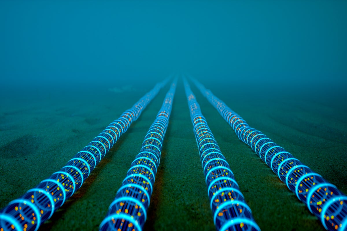
The global internet relies on physical infrastructure that is highly concentrated, geographically constrained, and increasingly vulnerable to geopolitical conflict. While casual observers view the network as a decentralized cloud, the reality is a rigid physical topology where over 95% of intercontinental data flows through a few hundred subsea fiber-optic cables. The Strait of Hormuz represents one of the most critical and fragile of these digital chokepoints. A localized kinetic conflict or targeted sabotage within this narrow corridor would not merely disrupt regional connectivity; it would fragment the transit architecture linking Europe, East Asia, and the Indian subcontinent. Mitigating this vulnerability requires moving past reactionary measures and instead implementing a structural overhaul of global routing topology, physical protection frameworks, and alternative transmission physics.
The Topology of Chokepoints: Why Geography Dictates Digital Risk
The vulnerability of subsea cables in the Strait of Hormuz is defined by a combination of shallow bathymetry, dense maritime traffic, and geopolitical volatility. To quantify the risk, the network must be analyzed through three distinct operational variables.
- Bathymetry and Depth Constraints: Unlike deep-ocean cables that rest on abyssal plains kilometers below the surface, cables in the Strait of Hormuz sit in relatively shallow waters, often averaging less than 50 meters in depth. This lack of vertical insulation exposes the infrastructure to low-tech interference.
- Anchor and Trawl Risks: Commercial shipping traffic through the strait creates a constant baseline of accidental risk. Shallow-water cables are highly susceptible to anchor strikes and commercial fishing trawls. While armoring and trenching mitigate this, the sheer volume of maritime transits ensures a high frequency of physical impacts.
- Asymmetric Warfare Vectors: In a high-tension scenario involving state or non-state actors, shallow cables become accessible targets for divers, unmanned underwater vehicles (UUVs), and commercial vessels deploying modified anchors. The attribution of such attacks is technically difficult, lowering the barrier to entry for sabotage.
When a subsea cable is severed in a deep-water environment, repair times are dictated by the transit speed of specialized cable ships. In a shallow chokepoint like the Strait of Hormuz, conflict conditions introduce a secondary bottleneck: security access. Cable ships are slow, highly visible civilian vessels. If the strait is an active conflict zone, insurance underwriters will refuse coverage, and crews cannot deploy. A repair that normally takes 7 to 14 days can stretch into months, transforming a temporary disruption into a prolonged regional blackout.
The Cascading Failure Function: Quantifying Global Latency Penalties
The economic impact of a cable failure in the Strait of Hormuz is governed by a dynamic routing equation. Internet traffic is inherently opportunistic, guided by Border Gateway Protocol (BGP) routing tables that automatically redirect packets away from severed links toward the next available path. However, when a primary high-capacity corridor fails, the alternative paths quickly experience capacity degradation.
Total Latency Penalty = (Baseline Latency + Congestion Delay) * Distance Multiplier
This structural bottleneck triggers a predictable sequence of systemic failures.
First, the immediate loss of capacity forces traffic onto overland terrestrial routes through Central Asia or alternative subsea routes around the Cape of Good Hope. The terrestrial paths, while shorter geographically, face significant political risk, cross-border regulatory friction, and lower aggregate capacity than subsea bundles.
Second, routing traffic around Africa introduces a massive distance multiplier. A packet traveling from Mumbai to Frankfurt via the Red Sea/Strait of Hormuz corridor experiences a round-trip time (RTT) of approximately 60 to 70 milliseconds. Rerouting that same packet around the southern tip of Africa increases the physical distance by thousands of kilometers, driving the RTT above 120 milliseconds.
Third, this latency spike causes a degradation of real-time financial trading systems, cloud synchronization protocols, and voice/video communications. For high-frequency trading algorithms and distributed database architectures, a sudden 50-millisecond penalty breaks synchronization windows, causing systemic transaction failures and data inconsistencies across continents.
The Three Pillars of Network Resilience
Addressing the vulnerability of the Strait of Hormuz requires a coordinated strategy that spans physical, logical, and terrestrial architectures. Relying on redundant cables within the same narrow body of water provides a false sense of security; true resilience requires complete geographic divergence.
1. Geographic Divergence and Terrestrial Corridors
The most effective way to mitigate a maritime chokepoint is to bypass it entirely. This has driven the development of overland fiber routes designed to bridge the gap between Europe and Asia without entering restricted waterways.
The Northern Route leverages the Trans-Siberian transit systems, though geopolitical isolation limits its utility for Western enterprises. Consequently, investment has shifted to the Southern Terrestrial Route, which moves traffic from the Arabian Gulf through Saudi Arabia, Jordan, and Israel directly into the Mediterranean Sea. By transforming maritime paths into terrestrial ones, operators eliminate the risks of shallow-water maritime conflict, though they exchange them for complex multi-jurisdictional regulatory frameworks and localized land-based security risks.
2. Space-Based Optical Mesh Networks
Low Earth Orbit (LEO) satellite constellations represent the first viable alternative to subsea infrastructure for intercontinental data transit. Unlike legacy geostationary satellites that suffer from severe latency due to their high altitude ($35,000\text{ km}$), LEO satellites operate at altitudes between $500\text{ km}$ and $1,200\text{ km}$, yielding RTTs comparable to fiber-optic cables.
The critical technological development within LEO architectures is the deployment of Optical Inter-Satellite Links (ISLs)—effectively lasers in space. ISLs allow satellites to route data directly to one another through the vacuum of space before beaming it down to a ground station on another continent. This creates a fully decoupled transit layer that operates independently of terrestrial geography or maritime chokepoints.
However, LEO networks have clear structural limitations. A single modern subsea cable can carry over 200 Terabits per second (Tbps) of data using spatial division multiplexing. The entire aggregate bandwidth of an entire LEO constellation is distributed across global footprints and cannot match the raw localized capacity of a subsea fiber bundle. LEO networks function effectively as an emergency control plane and a high-priority traffic bypass, but they cannot absorb the total mass of global internet traffic if major subsea corridors are severed.
3. Dynamic BGP Automation and Traffic Classification
The logical layer of the internet must be reconfigured to handle sudden, massive capacity drops. Traditional BGP routing reacts to a link failure by shifting traffic to any advertised path that matches the destination, often leading to immediate congestion on the backup links.
Next-generation network management uses software-defined wide area networking (SD-WAN) and automated traffic classification at the carrier level. By separating traffic into critical and non-critical tiers, network operators can preserve essential services during a chokepoint failure.
- Tier 1 (Critical): Financial transactions, DNS root server synchronization, state defense communications, and critical infrastructure telemetry. This traffic is allocated to the remaining high-performance subsea links or LEO networks.
- Tier 2 (Standard): Corporate cloud computing, encrypted web traffic, and general business communications. This traffic is rerouted along longer, higher-latency terrestrial or round-Africa paths.
- Tier 3 (Bulk): Consumer video streaming, file downloads, and non-real-time data backup. This traffic is throttled or cached locally at the edge to prevent it from clogging essential backup transit capacity.
The Geopolitical Cost Function of Digital Isolation
The vulnerability of subsea cables alters the economic calculation of state actions within maritime chokepoints. Historically, blocking a strait was understood primarily as an energy threat—restricting the flow of crude oil and liquefied natural gas. In the modern economy, cutting the data flowing beneath the waves could inflict comparable financial damage.
This reality introduces a mutual dependence model. A state that initiates a kinetic conflict in the Strait of Hormuz risks isolating its own regional economy from the global cloud. Because modern subsea cables land within regional hubs to distribute local traffic before continuing to international destinations, any indiscriminate cutting of cables penalizes both local economies and global consumers.
The limitation of this deterrent factor lies in the asymmetry of attribution. If an outage is caused by a covert UUV operation or a deniable civilian vessel dragging a modified anchor, the target nation cannot easily trigger international self-defense mechanisms or execute retaliatory sanctions. The ambiguity of the attack vector complicates the legal and military response, making subsea infrastructure an attractive target for hybrid warfare.
Executing the Divergence Mandate
To secure the global transit architecture against a catastrophic failure in the Strait of Hormuz, enterprise network architects and state infrastructure planners must execute an immediate structural pivot away from single-corridor reliance.
First, hyperscalers and telecommunications consortia must halt expansion plans that add incremental capacity to existing Red Sea-Hormuz corridors. Capital expenditure must be redirected to fund the high-risk, multi-jurisdictional terrestrial routes crossing Central Asia and the Middle Eastern landmass, establishing true physical path diversity.
Second, sovereign states must reclassify subsea cable landing stations and nearby chokepoints as critical national security infrastructure. This mandate requires deploying persistent maritime situational awareness networks—combining acoustic hydrophone arrays, satellite radar tracking, and autonomous surface vessel patrols—to monitor commercial and military vessels operating within 500 meters of known cable paths.
Third, global enterprises must re-architect their cloud footprint to operate under a split-horizon model. Critical operational data must be continuously replicated across independent geographic zones using distinct transport modalities—combining subsea fiber, terrestrial fiber, and LEO satellite allocations. If a chokepoint failure occurs, the network must be programmed to automatically shed non-essential traffic loads at the border gateway, preserving the available high-performance bandwidth exclusively for core mission-critical operations. Reliance on a single geographic bottleneck is an unacceptable systemic failure; survival requires immediate structural divergence.